Memphis International Airport (MEM)
Orientation and Maps
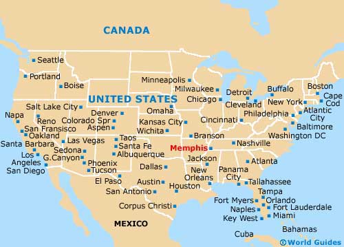
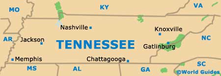
(Memphis, Tennessee (TN), USA)
With a rich rock 'n' roll and blues heritage, and officially the home of Elvis Presley, Memphis truly has a rich musical heritage. The city of Memphis is located in Tennessee, next to the Mississippi River, and is also known for its historic cotton industry and paddle boats.
On the southeastern side of the city, the Memphis International Airport (MEM) is close to the I-55 and I-240 interstates, being located along Winchester Road. The Downtown Airport Shuttle (DASH) connects the majority of the city's hotels in and around the downtown district.
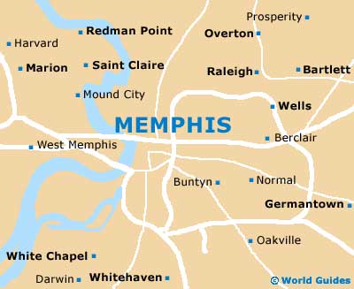
Memphis International Airport (MEM) Maps: Important City Districts
Long-distance transport both to and from the city of Memphis is provided by Greyhound, with the bus station standing on Union Avenue. Regular buses travel to Little Rock, Nashville and New Orleans, amongst other cities. Trains are also a popular way to reach Memphis and the Central Station along South Main Street is a particularly grand building, with regular Amtrak trains traveling to Chicago.
Around the city itself, local buses are provided by the Memphis Area Transit Authority (MATA) and offer an inexpensive way to reach your destination. The Main Street Trolley line is also popular and features vintage trolley cars.
The downtown district of Memphis is situated next to the eastern side of the Mississippi River and is edged by the scenic Riverside Drive. The most appealing area for tourists is located away from the riverfront and around Beale Street, Union Avenue and nearby Overton Square, where dining venues, shops and bars can be found in abundance. Those looking for true Elvis memorabilia will find the Graceland Mansion approximately 3 miles / 5 km to the south of downtown Memphis, along the US-51 highway, which is perhaps better known as the 'Elvis Presley Boulevard'.
USA Map
Tennessee Map
Memphis Map